Driving Discoveries

A historical marker titled "Battle of the Spurs" stands in a grassy area in Kansas, framed by a cloudy sky in the background.
The "Battle of the Spurs" in January 1859, where John Brown led 11 slaves to freedom. U.S. Marshals tried to capture him, but Brown's defiance led to the slaves' successful escape.
A historical marker stands in a grassy Kansas field, detailing the history of The Lane Trail, which was used to aid Free-Staters and help transport slaves to freedom. Trees and a cloudy sky provide a serene backdrop.
Established in 1856, the Lane Trail bypassed proslavery Missouri to aid free-state settlers. Marked by "Lane's Chimneys," it extended from Iowa to Topeka as part of the Underground Railroad.
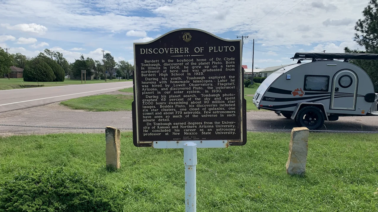
A historical marker titled "Discoverer of Pluto" stands proudly on the grassy roadside. Behind it, a small teardrop trailer waits, hitched to a vehicle under the partly cloudy sky. Trees gently line the road, bearing witness to Clyde Tombaugh's monumental discovery of Pluto.
Historical Marker for Dr. Clyde Tombaugh, from Burdett, Kansas, discovered Pluto in 1930. He also found a comet, six star clusters, a galaxy cloud, and 775 asteroids.
A small, rundown schoolhouse sits isolated in a grassy field under a partly cloudy sky, with a few trees and an old utility pole nearby.
Driving on HWY 283 offered a few interesting places to stop and take some pictures of an abandoned schoolhouse, an old stone shed, and a roadside memorial for Chris.
A brown historical marker titled "Homestead of a Genius" stands on a grassy field under a clear sky, displaying text about a noted figure's birthplace and achievements.
Rolling down the highway, I see another historical marker. I had totally forgotten that George Washington Carver had homesteaded in Kansas before he became famous.
Metal buffalo silhouette in a grassy area with a wooden fence and informational sign. Hills and cloudy sky in the background.
After the Sand Creek Massacre, the Cheyenne, Apapho, and Sioux People gathered here and decided to raid Julesburg before moving north at the start of the Plains War.
A black Jeep Rubicon is parked near the sign for Sligo Cemetery near Grover, CO in a grassy field under a cloudy sky.
On my way to explore the Pawnee National Grasslands, I stopped at the Sligo Cemetery, a lonely field on top of a wind-swept hill.
A large arrow sculpture is angled, pointing into the ground on a grassy, dry field, marking the site of the Battle of Sweetwater Creek. The arrow, with red and white fletching and a silver shaft, stands near a rock and a historical marker. In the background, a wire fence stretches under a clear blue sky.
The arrow sculpture at the Mobeetie Rest Stop cut my eye, and I had to pull over to check it out. There were two historical markers in this rest stop in the Texas panhandle.
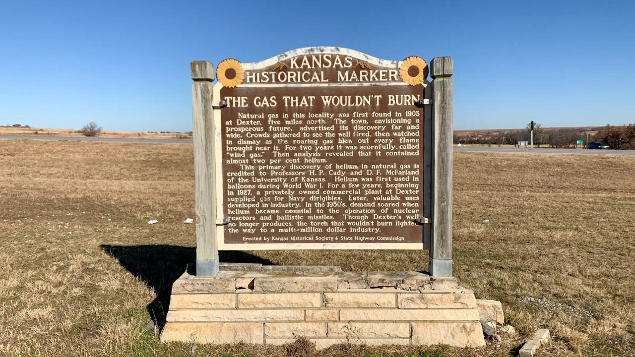
A Kansas Historical Marker stands on a grassy area under a clear blue sky. The sign, adorned with sunflower emblems, tells the tale of “The Gas That Wouldn’t Burn,” highlighting an 1890s natural gas discovery in Dexter, Kansas. A road and open fields unfold gracefully in the background.
I'm always drawn to his historical markers. Sometimes, you find ones that are just irrelevant and not all that interesting, and other times, you find a fascinating one like this one.
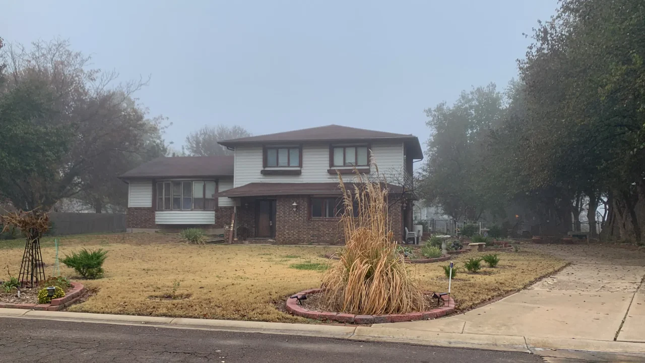
A two-story house with a brick facade and white siding sits on a foggy day in Rose Hill, Kansas. The house evokes a feeling of old charm, with its large, neatly kept lawn and circular driveway. Trees surround the property, their branches slightly visible through the misty, overcast sky.
Sometimes a path down memory lane doesn't necessarily perk you up and revive your spirits. Driving around my childhood home left me rather morose and feeling ancient.
The small, historic stone Schoolhouse from 1909 stands alone in a grassy field under a clear blue sky. With its brown shingled roof and square bell tower, it evokes the tranquil charm of District 3's rural past, framed by tall trees in the background.
As I was leaving Milford State Park, I noticed this old schoolhouse and had to pull over to take pictures and see if any restoration work had been done on the building or interior.
A covered wagon sits proudly on a raised stone platform, guided by two black oxen statues. Informational plaques serve as historical markers for the California-Oregon Trail. The scene is set against autumn trees with yellow leaves under an overcast sky, connected by a path from lush green grass.
Wandering and meandering on back roads and uncrowded highways allows me to find many unexpected and unusual sites, such as this historic trail marker and gravestone.

Chase County Veterans Memorial Park entrance sign with logos of various military branches and an informational plaque on the right.
After a couple of days of working, I headed back to Cottonwood Falls to stop by Swope Park and snap a few pics of the Veterans Memorial
A concrete pathway winds through dry grassy fields under a clear blue sky, leading to a low stone structure and informational signs in the distance.
After some wonderful time with family, I rolled out, heading northwest, looking to see what I could see as I meandered down highways I'd never used.
Three informational signs stand on a hexagonal concrete platform in an open grassy area under a clear blue sky, with a winding path and expansive landscape in the background.
After leaving the Kansas Turnpike and heading heading north on KS HWY 177, a road side historical marker caught my eye and I had to check it out
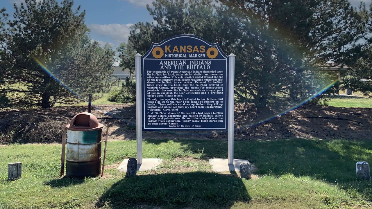
An AMERICAN INDIANS AND THE BUFFALO Historical Marker in front of a tree with a rainbow in the background.
So many historical markers in Kansas. Amazing history and great for taking a break